Clark Pearson is a ‘Native American Lands Environmental
Mitigation Project Manager’ for the Native Village of Eyak. I share with him a
strong interest in Middleton Island’s history and we met before out on the
island in the fall of 2009. The Native Village of Eyak is currently performing
environmental investigations on Middleton Island and Clark’s most recent visit
has been part of this investigation as well.
Alaska has been a mecca for military activity for over 100
years and many of the historical military sites, including those on Middleton Island,
have been heavily polluted while in operation. An environmental assessment
conducted on the island in 2009 revealed the presence of asbestos, diesel range
contaminants, and lead. The Native American Lands Environmental Mitigation
Program (NALEMP), overseen by the US Army Corps of Engineers and funds
remediation activities for former military sites on Native American lands,
allows Alaska Native and Native American tribes to investigate and remove
hazardous materials from their land and provides valuable employment and skills
training to tribal members.
More about the NALEMP and details for Middleton Island can
be found here: http://www.eyakfish.com/nalemp.html
Clark just sent me a few of the photos he took during his most
recent visit to Middleton during late August.

Clark Pearson standing in between
the poles that once held the “Middleton Island blue fox farm” sign (or whatever
is left of them). It would be great to get some proper GPS-coordinates of their
locations, before they’re completely gone. I’m pretty sure the farmers housing
was to the left of you, Clark, not the right..:-)
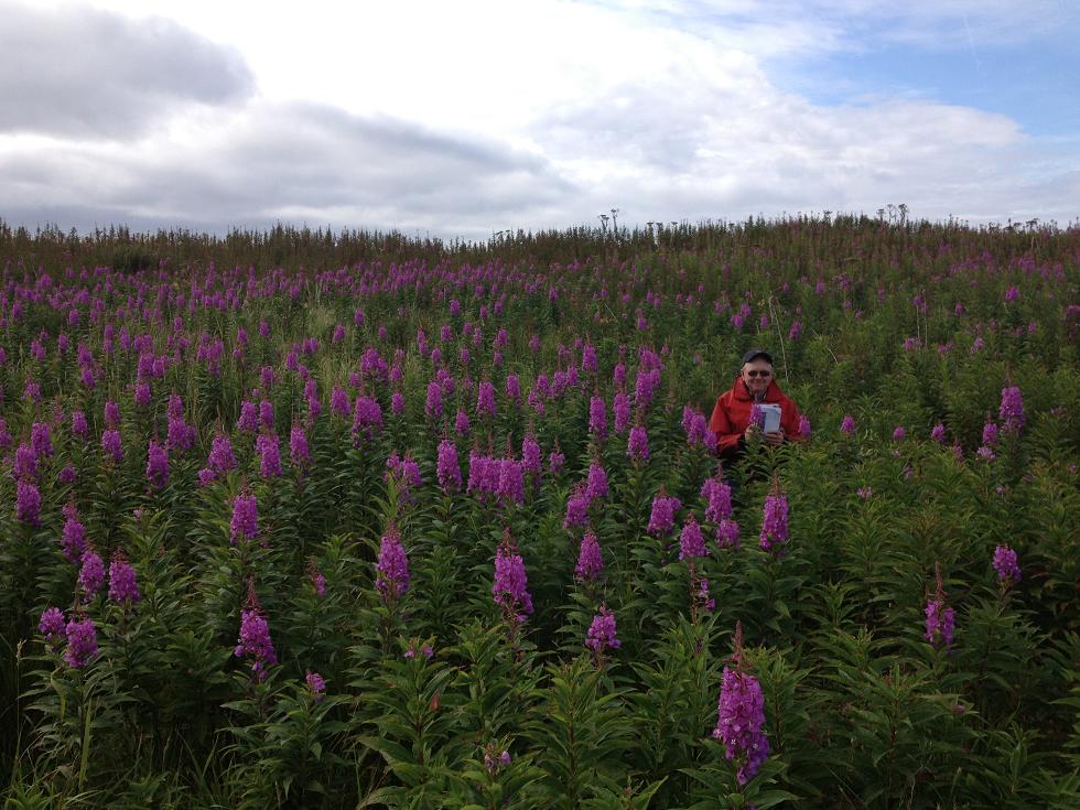
Try to find Clark, at the exact location of the former fox farmer’s housing. The extensive growth of fireweed is an indication for the soil disturbance at the site that occurred in the past.

One of my favorite parts of the island; the eastern lowlands. The wash of gravel and clay originates from a small water stream that eventually leads to the ocean. Just to the right of the photo this stream made a steep cut in the bedrock of the older and higher part of the island. This little canyon is called ‘the military dump’, as it was used as a dump site for a lot of material and pollutants in the past.

The NALEMP is also inspecting the environmental impacts resulting from this old fuel pipe line, which runs from the north end all the way to the former A.C.&W. station in the center of the island.

By late August 2012, and after a very successful breeding season
I believe, the Kittiwakes were still occupying the former radar tower.

Clark at the gravel beach in the north end, used as the most
regular barge landing site. At least some things haven’t changed…
Thanks Clark!
No comments:
Post a Comment